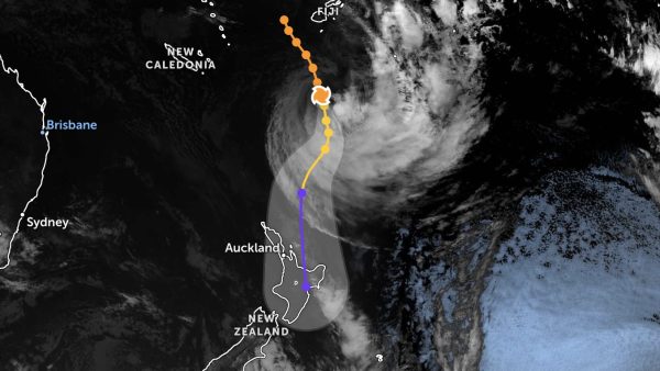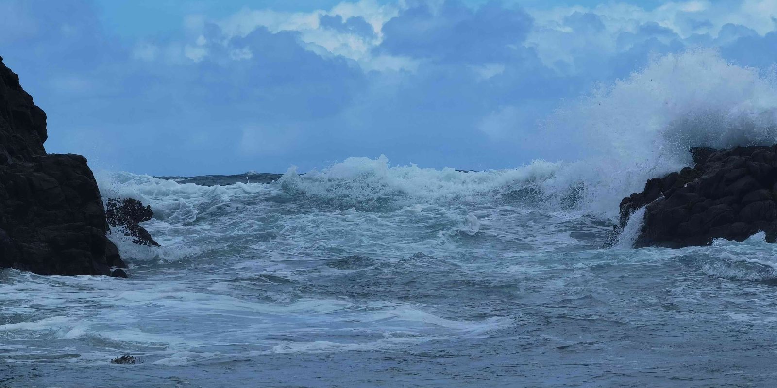
Residents should prepare for a period of heavy rain and potential thunderstorms starting this afternoon. The MetService has issued a Heavy Rain Watch for Great Barrier Island, in addition to Auckland, from 9 PM on Monday, 20 May, until 6 AM on Tuesday, 21 May.
MetService meteorologist Dom Barry says a complex low-pressure system from the Tasman Sea is driving the severe weather. He describes the phenomenon as a “Tasman Sea Special.”

“Strong easterly winds will be felt across Northland and Tāmaki Makaurau while the low-pressure system passes,” Barry said.
This evening, a risk of thunderstorms increases to moderate about coastal parts of Northland and the Hauraki Gulf, including Great Barrier Island. The thunderstorms may bring strong wind gusts of around 80 km/h and localised heavy rain with intensities of 15 to 25 mm per hour, with a low risk of downpours of 25 to 40 mm per hour.
The risk of thunderstorms extends to the Coromandel Peninsula, Bay of Plenty, and Tairāwhiti late this evening and into Tuesday.

Preparation Tips for Locals:
- Secure outdoor items and ensure drainage systems are clear.
- Avoid unnecessary travel during peak weather conditions.
- Stay updated with the latest weather reports from MetService.