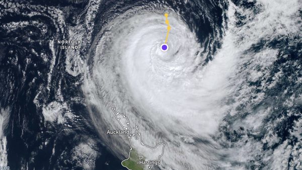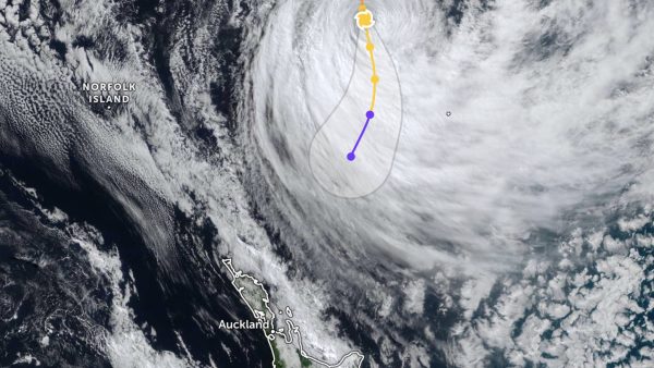
Great Barrier Island has been hit this week by an unusual sequence of weather: thick fog clinging to the peaks, sudden cloudbursts, and hot, humid days that feel closer to the tropics than early December.
According to Professor James Renwick, a climate scientist at Te Herenga Waka — Victoria University of Wellington, the rumble of thunderstorms this week is “a noisy reminder that summer is arriving – and with it, the mix of heat, humidity and unstable air that fuels these bursts of wild weather.”

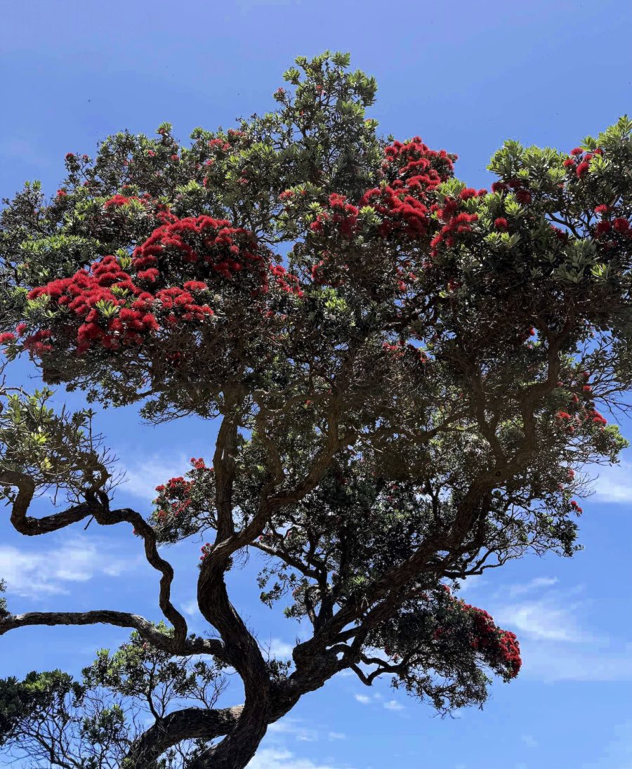
The island’s high temperatures, sticky humidity and then abrupt arrival of thunderstorms, and pōhutukawa blooming well ahead of the usual peak, is all part of it.
Renwick notes that La Niña is now present in the tropical Pacific, saying it can provide northern parts of the country like Great Barrier “with background conditions that make for heightened mugginess, heavy downpours and thunderstorm activity.”
But he also points to the sea as a major influence on coastal areas. He says sea surface temperatures “have recently increased sharply, with widespread and abnormally warm marine heatwave conditions returning to our coastal waters.” This ocean heat, he says, is likely to persist through summer “with the potential to boost evaporation and humidity, and add energy to the lower atmosphere.”

When weather systems approach from the north, Renwick says “that extra moisture can drive heavier rain and more vigorous convection.” On Great Barrier this has translated into sudden, intense downpours sweeping across the island in waves, with peaks like Hirakimatā disappearing inside dense cloud.
Explaining the mechanics behind this week’s storms, Renwick says thunderstorms form when “warm, moist air rises into cooler layers above.” As it rises, “water vapour condenses into cloud droplets, releasing heat that adds buoyancy and lifts the air further.” Electrical charges then separate inside the cloud until lightning discharges, heating the air to “tens of thousands of degrees – hotter than the surface of the Sun.”
He notes that MetService “counted more than 3,600 lightning strikes” during this week’s event, “of which nearly 730 reached the ground.”
Renwick says climate change affects the intensity of these systems. A warmer climate means “more energy and moisture in the atmosphere, making it easier for thunderstorms and heavy rain to develop when conditions allow.”
Air can hold 7% more water vapour for every degree of warming, and when that moisture condenses it “releases heat that strengthens the storm’s updrafts.” NIWA estimates that every degree of warming leads to a median 13.5% increase in hourly rainfall in a one-in-50-year event.
Renwick says the overall direction is clear: “warmer seas and a warmer atmosphere mean more moisture, more energy in the system, and possibly more instability in the atmosphere. When thunderstorms do form, they have more to work with.”
He says that although events like this week’s will pass, “we are tipping the odds toward more intense downpours” in the years ahead.