
Information below is out of date. Click here for the latest developments.
The Aotea Great Barrier Emergency Response Team (ERT) has issued an urgent directive for all residents to stay off the roads as the island’s infrastructure continues to strain under the weight of an unrelenting tropical deluge.

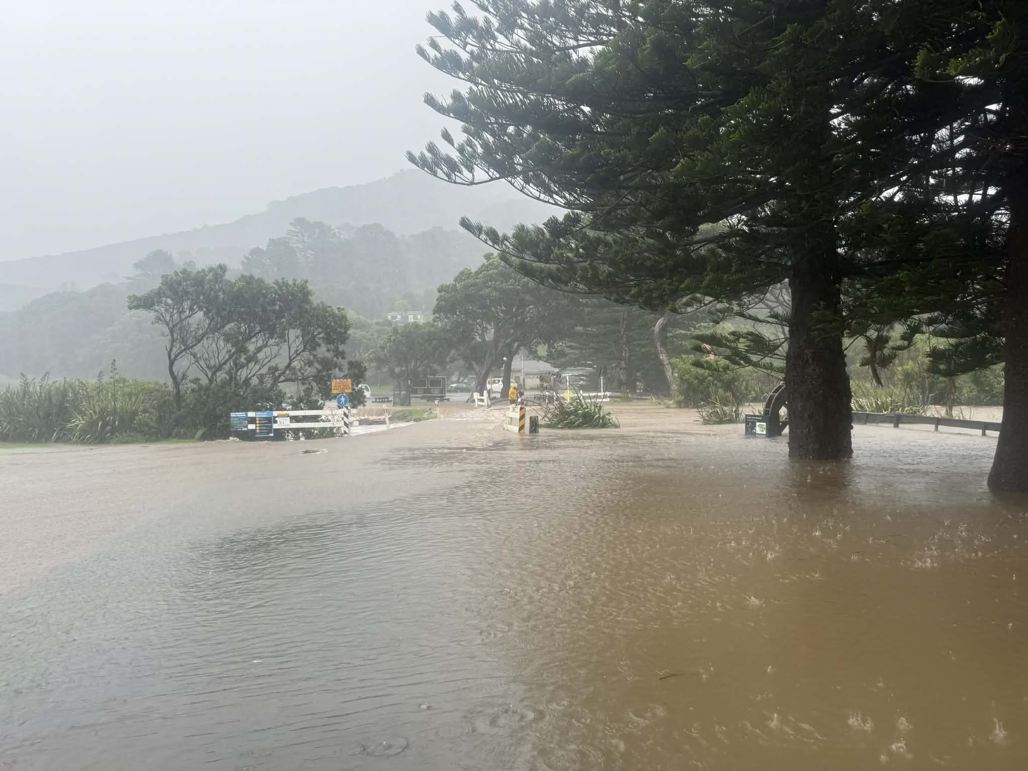
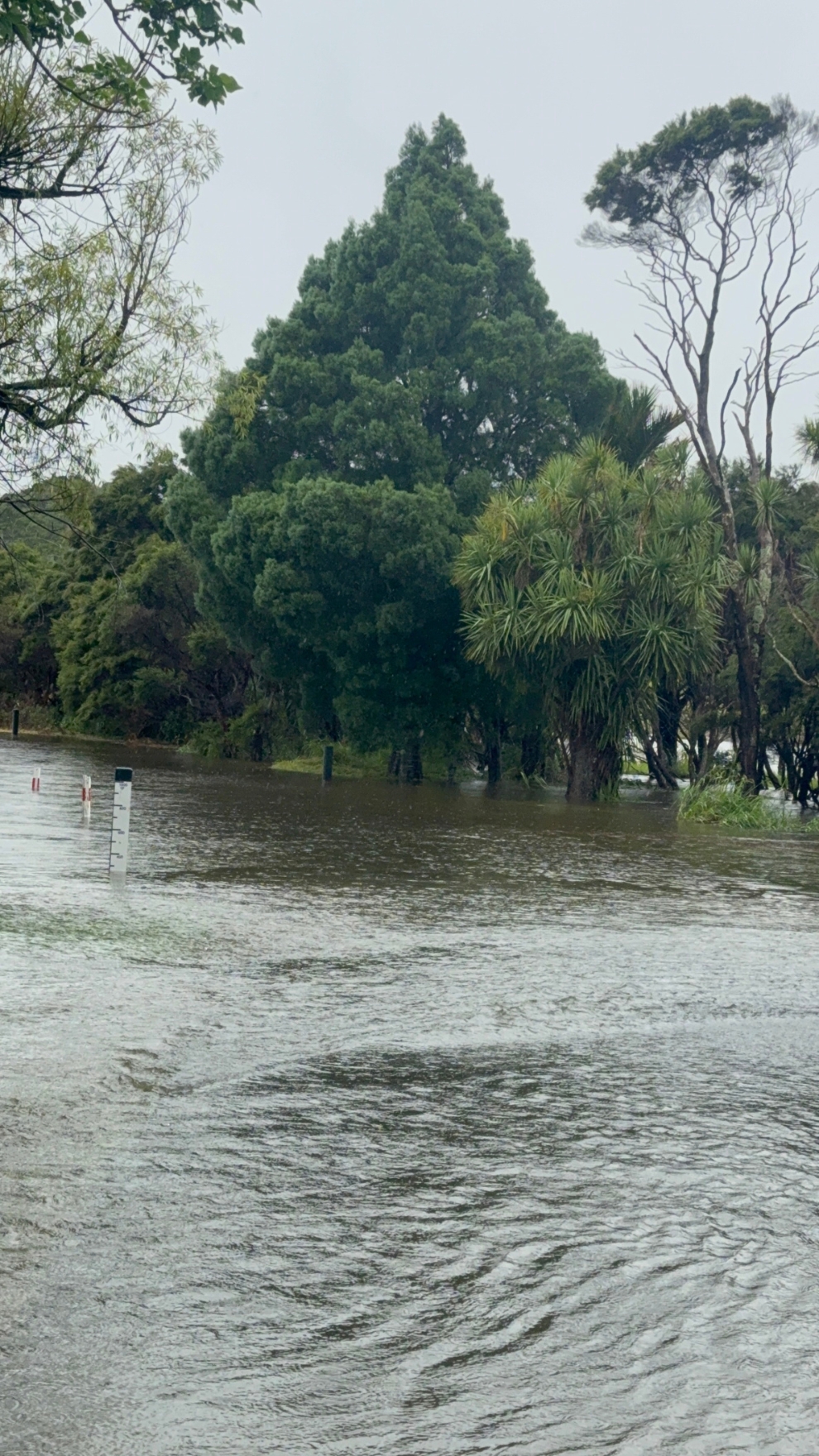
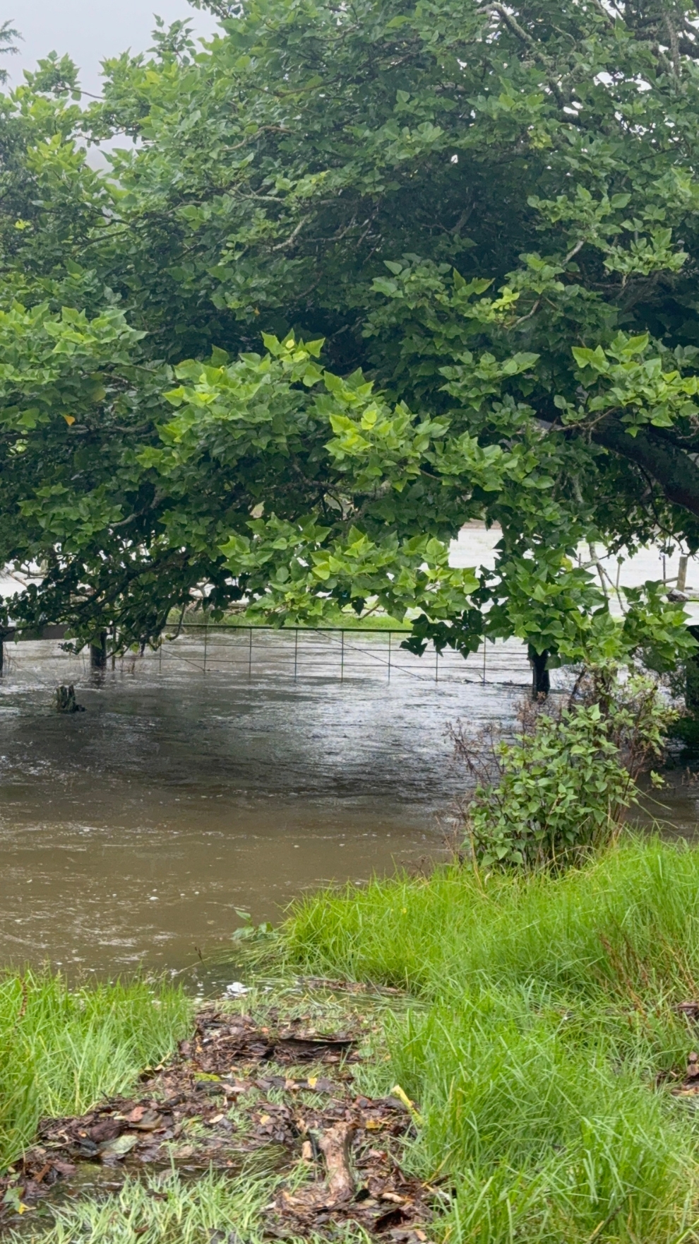
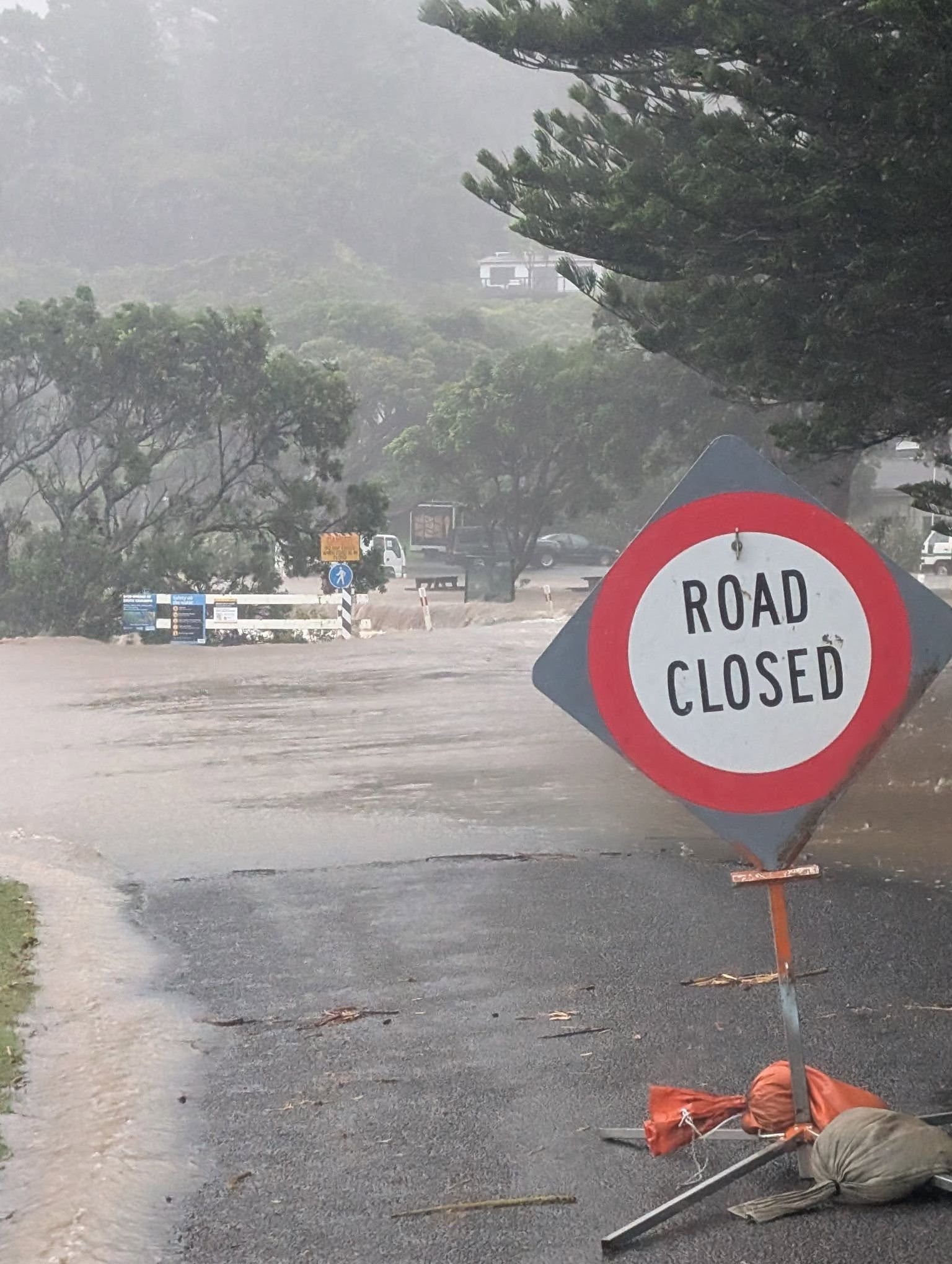
The situation escalated dramatically this evening as rivers across the island burst their banks. With eight more hours of heavy rain forecast, the flooding hazard continues. ERT officials have warned that it is now too dangerous for contractors to attempt clearing slips or carrying out remedial works; all repairs are on hold until conditions allow for safe operations.
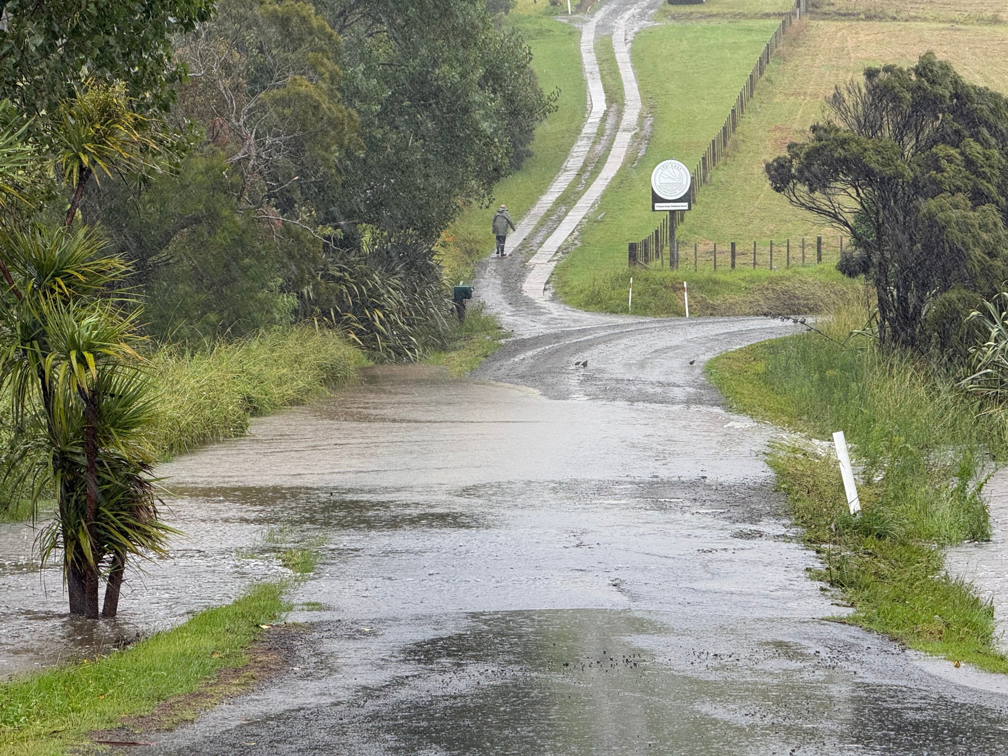
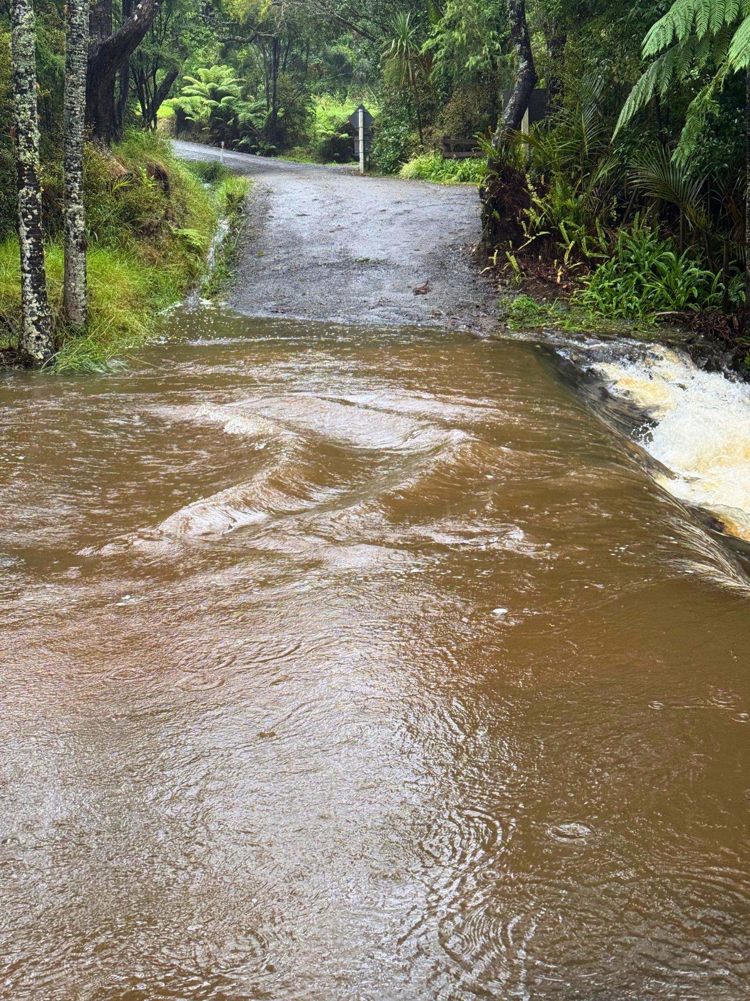
ERT have issued a specific plea regarding the Tryphena Ford. It is currently considered life-threatening and must not be crossed by vehicle or on foot. The ERT warns that water levels have reached dangerous heights, with the added hazard of large logs being washed downstream.
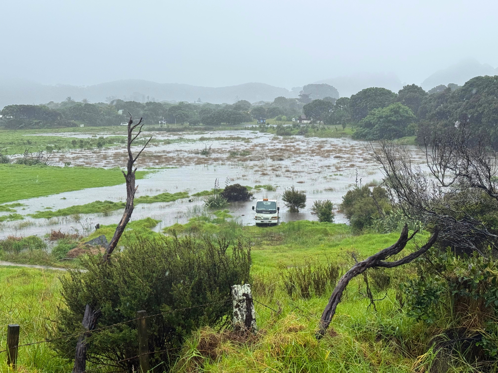
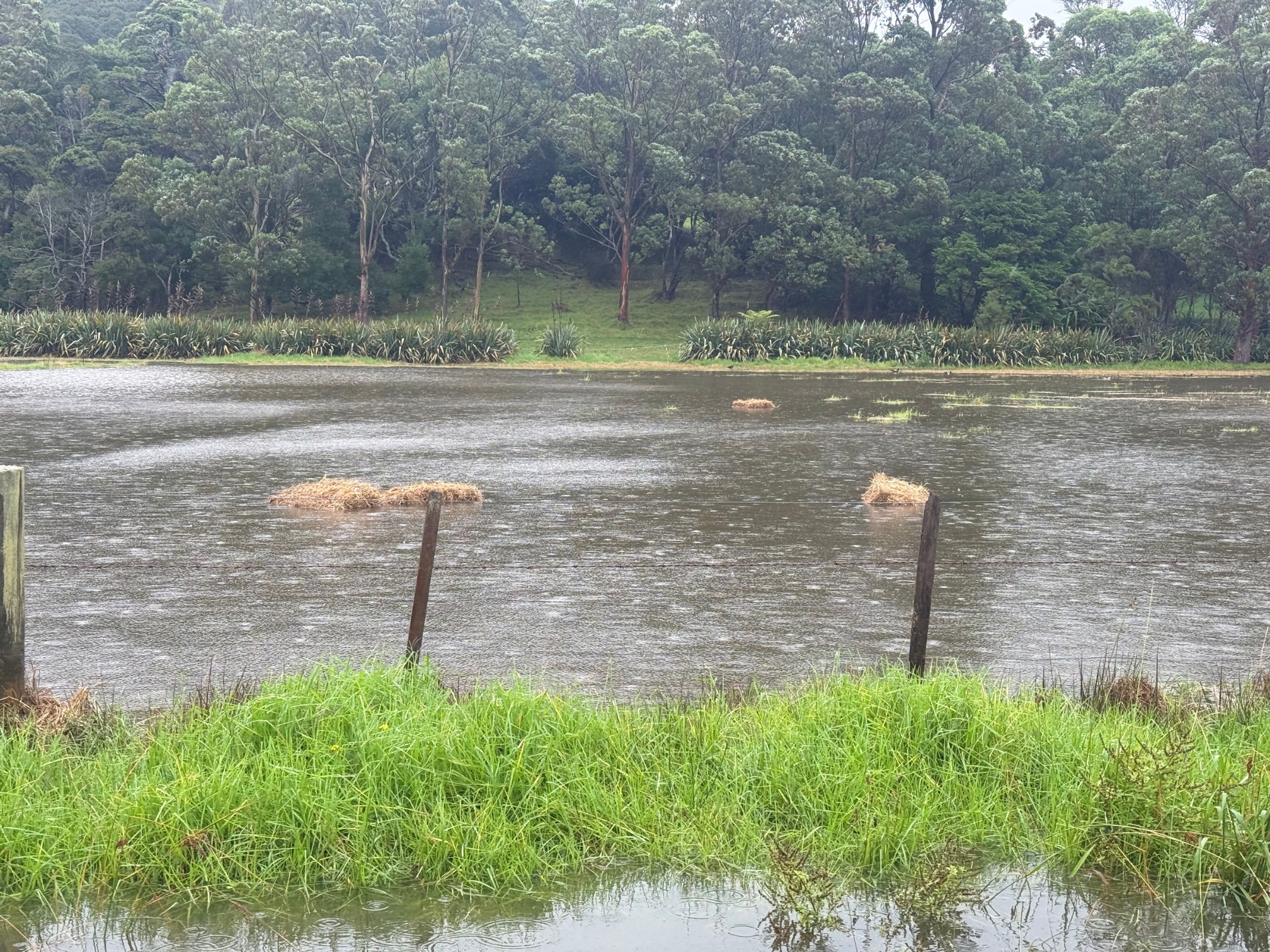
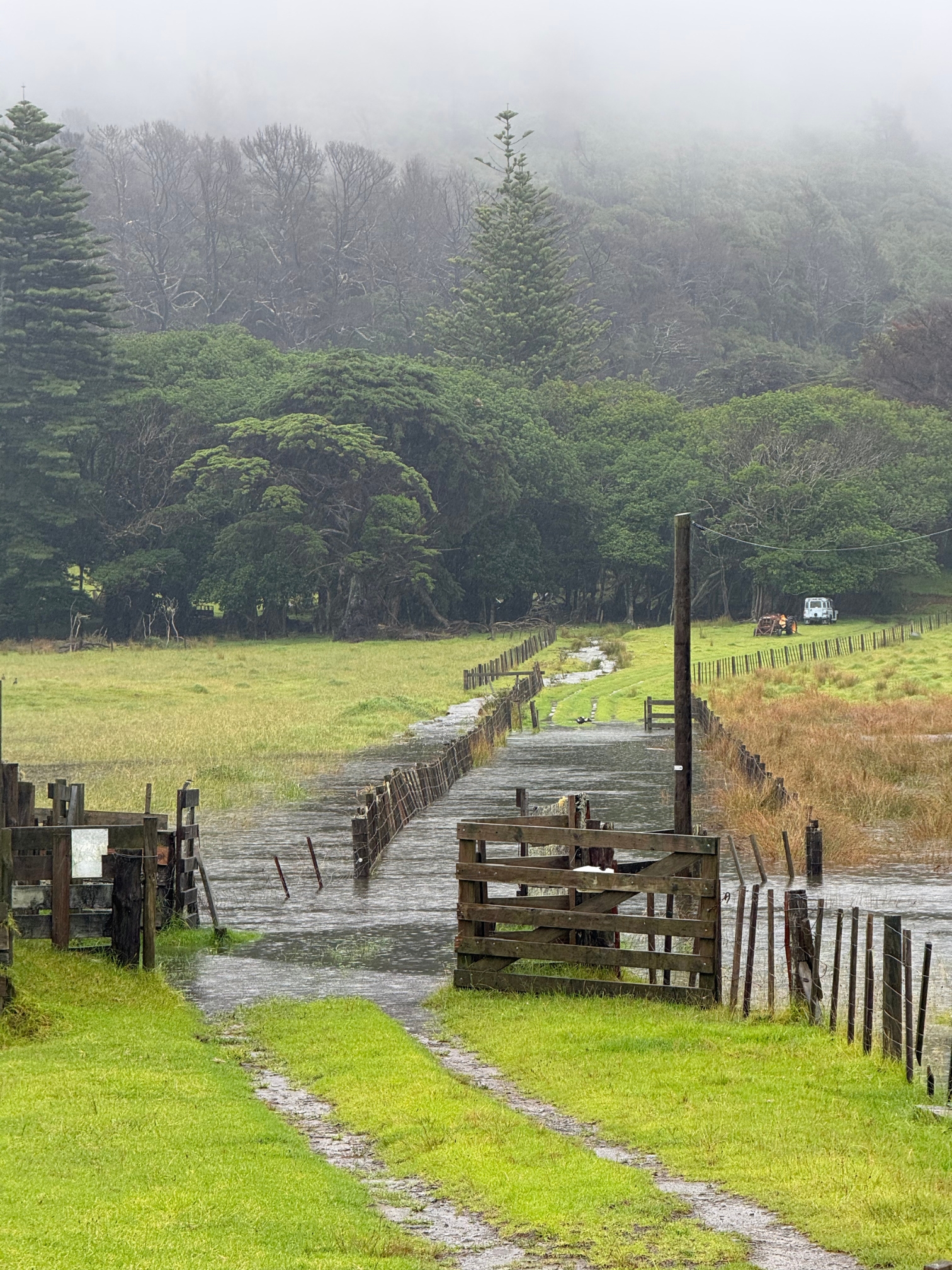
Elsewhere, the Medlands flats are completely inundated, and the Mason Road ford remains impassable with fast-flowing water. At Awana, the valley floor is submerged, remaining crossable only by experienced drivers in heavy 4WD vehicles—though ERT strongly recommends staying home instead.
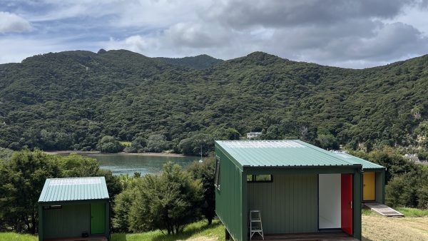
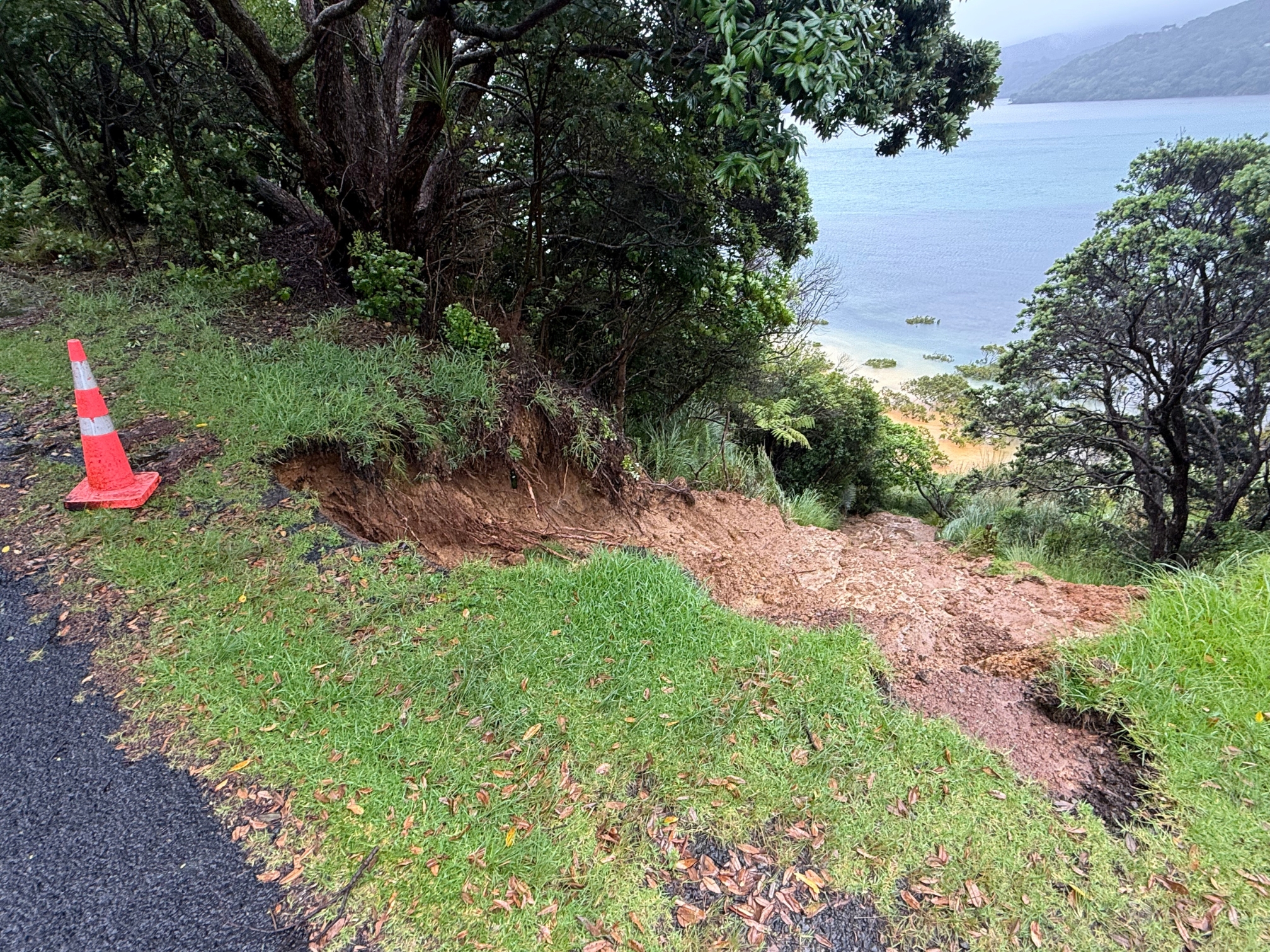
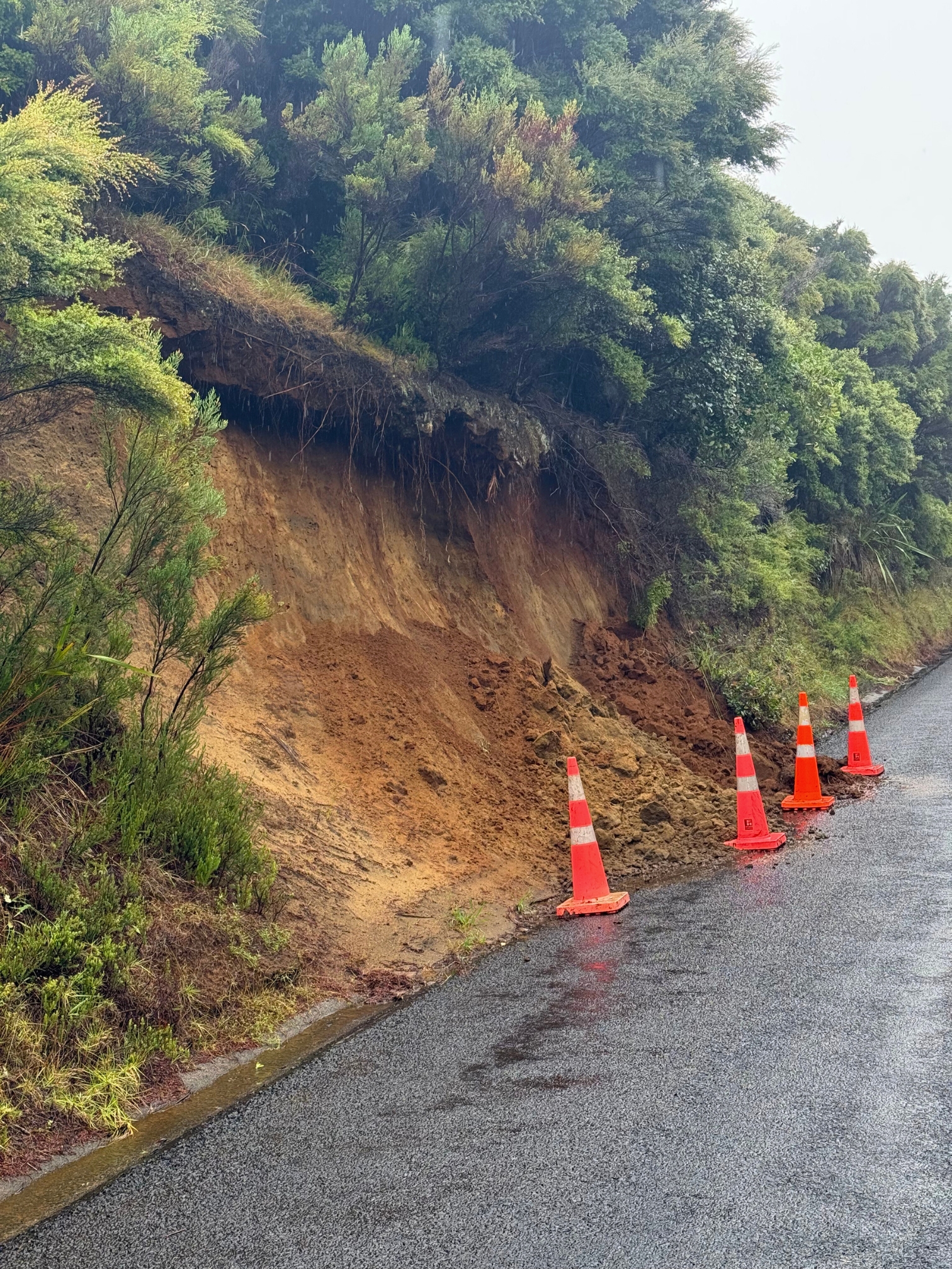
Coastal stability is also a concern. A significant slip has occurred on Shoal Bay Road just before Pah Beach. While the debris has not covered the road, much of the shoulder has collapsed into the water below. While Claris and Kaitoke have escaped the worst of the damage so far, conditions across the rest of the island continue to deteriorate.
Travel Gridlock Remains
The island’s isolation from the mainland continues into its second day. SeaLink has confirmed that all ferry sailings through to Thursday remain cancelled. Barrier Air has grounded the majority of today’s flights. Air New Zealand continues to cancel domestic services nationwide as the system moves across the country.

Upgraded Warnings
MetService has upgraded the previous watch to an Orange Heavy Rain Warning, effective until 2:00 am Thursday.
- Forecast: Expect 80 to 120 mm of rain, with peak intensities of 25 to 40 mm/h expected through this afternoon.
- Wind: A Strong Wind Watch remains in place until 11:00 pm tonight, with easterly gales threatening exposed areas.
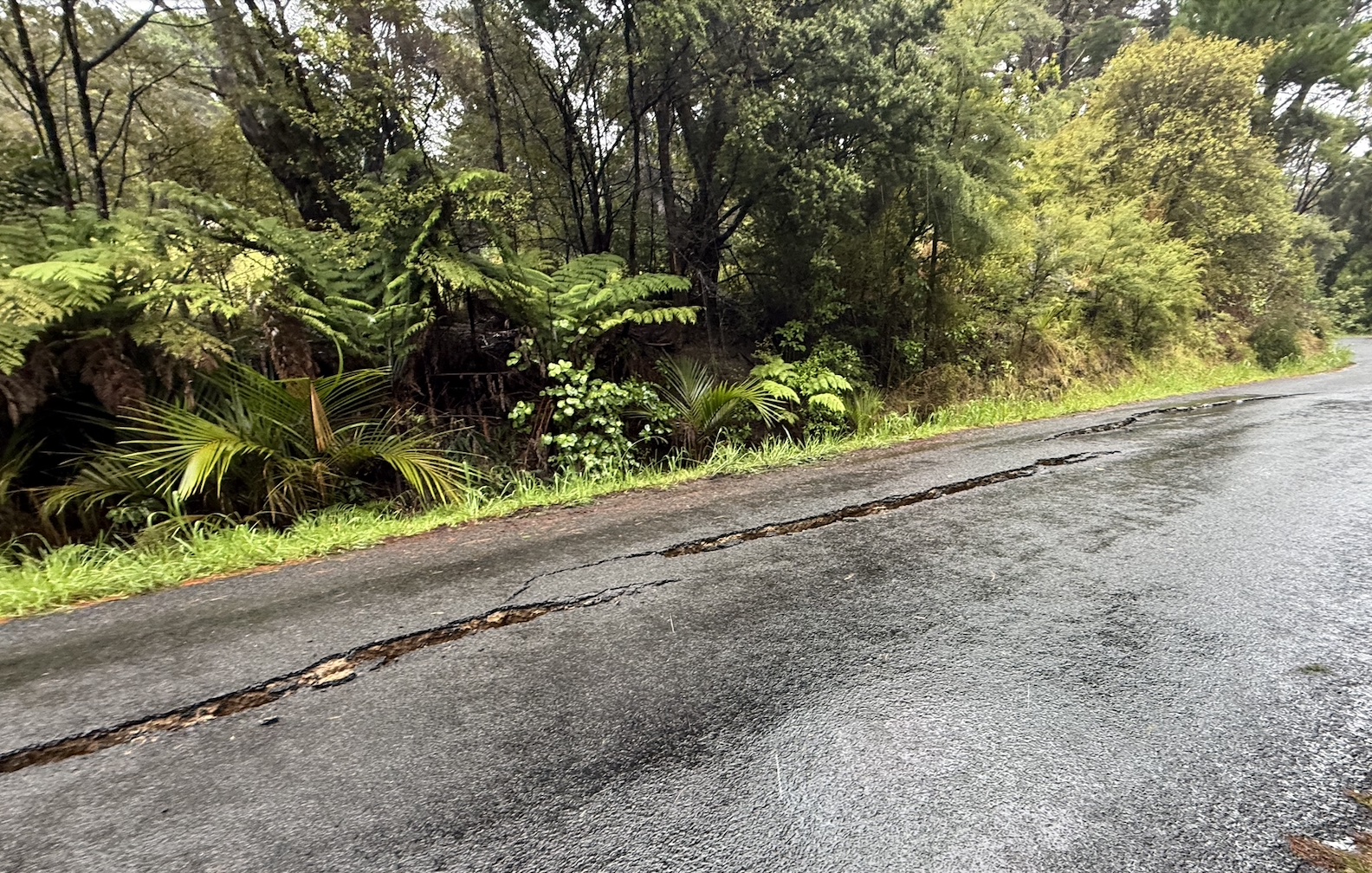
The Emergency Response Team continues to advise residents to stay home and avoid all travel. With rivers rising rapidly and road surfaces cracking or slipping, any travel carries risk.
While the forecast still indicates the weather may clear by Thursday morning, the immediate priority for all residents is to stay off the roads and monitor official channels for further Civil Defence updates.