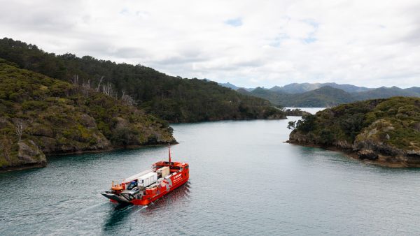
Mulberry Grove’s shoreline, where erosion threatens both natural beauty and critical infrastructure. Photo / MGS
Auckland Council is set to visit Great Barrier Island to engage with the community about the issue of erosion, which poses a threat across the island, not least at Mulberry Grove—the most severe example of the dangers facing the region.

The visit is part of the council’s Shoreline Adaptation Plan (SAP), which seeks to address and manage coastal hazards that impact various parts of the island.
Mulberry Grove stands out as the area with the most acute challenges according to a council survey, characterized by unsafe coastal structures, severe erosion, and frequent sea inundation. This puts vital infrastructure like Shoal Bay Road, a crucial link between communities, at risk.
A recent tool released by the council allows residents to check if their properties are at risk of erosion or located on a flood plain.

The SAP outlines strategies to mitigate risks, including doing nothing and letting nature take its course, maintaining existing defenses while gradually relocating vulnerable assets, or constructing robust protective measures like seawalls.
Inundation in the past has already sparked discussions at a local board level about potentially rerouting Shoal Bay Road away from the encroaching waters.
Coastal erosion poses an issue across New Zealand, affecting about a quarter of the country’s coastline. The impact is more profound on an island paradise like Great Barrier. The survey reveals Mulberry Grove holds the unenviable position of having the highest number of at-risk markers in all of Auckland, tied only with Glenbrook on the Manukau Harbour.
The government is currently finalizing a National Adaptation Plan, which will outline a comprehensive strategy for managing the risks of climate change, including coastal erosion, but the SAP has a specific focus on council assets like infrastructure and roading.
The public consultation period for the Shoreline Adaptation Plan (SAP) will run from 7th September to 1st October. During this period, it’s understood Auckland Council officials will visit Great Barrier Island and collaborate with local organizations like the Barrier Social Club to engage with residents, gathering feedback and insights on the proposed strategies.
Information on the SAP and how to get involved and provide feedback are available on Auckland Council’s Shoreline Adaptation Plan webpage.