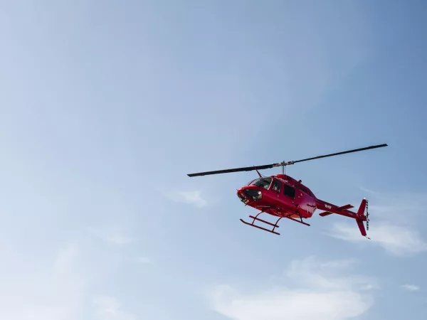
By Rashid Sumaila, University of British Columbia Amid the escalating threats of a warming world, and with the latest annual United Nations global climate conference (COP28) behind us, there is…
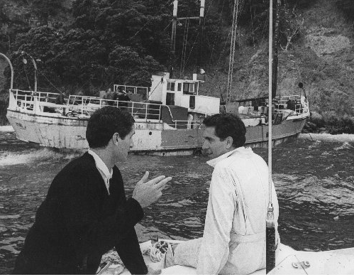
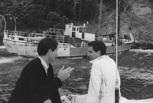
David Gapes (right) near the pirate radio ship Tiri aground on Great Barrier Island. Photo / NZME David Gapes, a key figure in the foundation of Radio Hauraki and a…
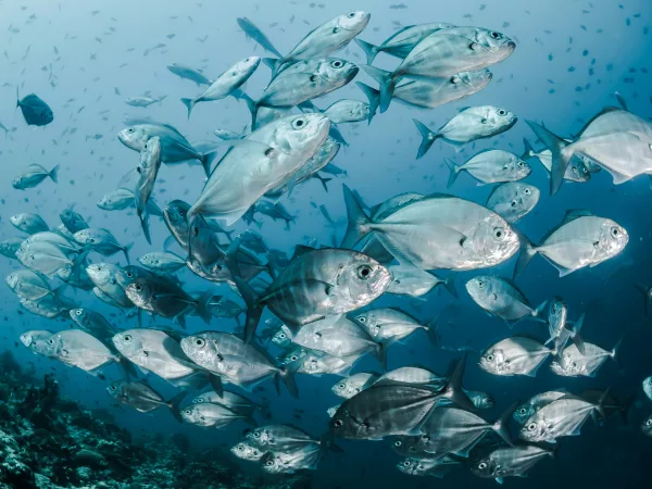
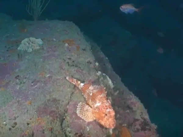
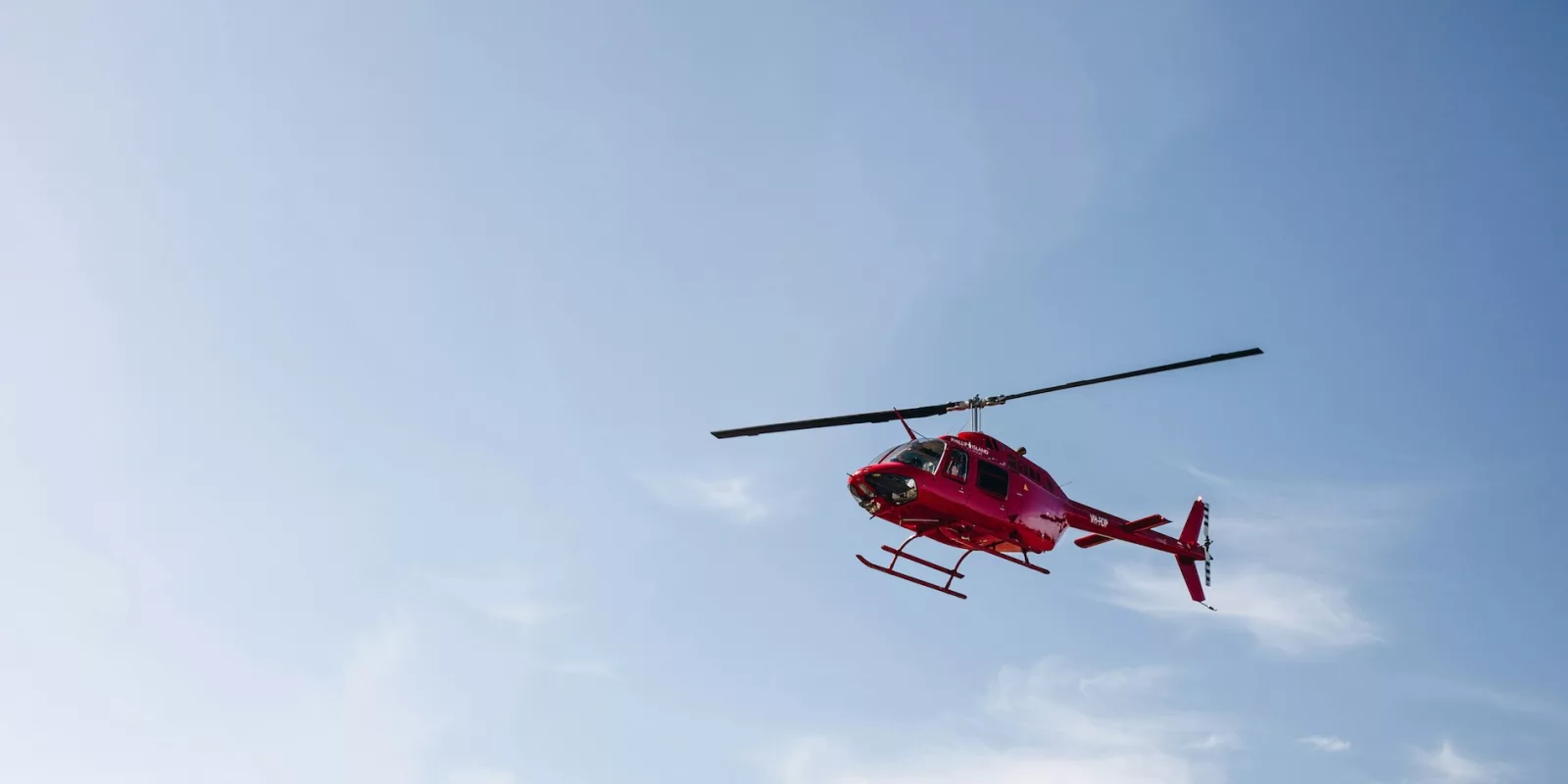
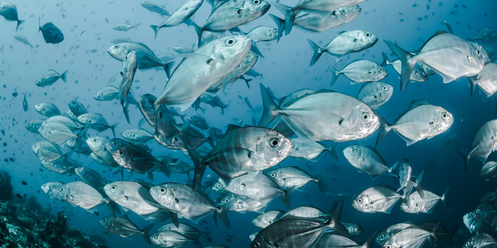
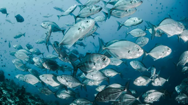
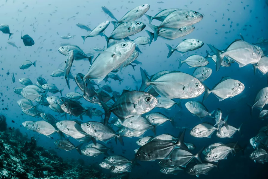
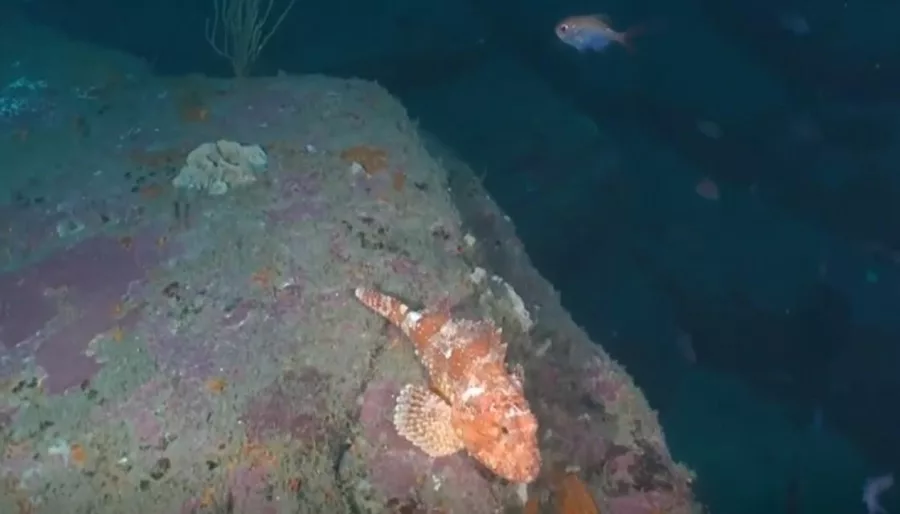
Scientists from the Department of Conservation (DoC) and Te Herenga Waka-Victoria University of Wellington have undertaken an ambitious project to map some of the Hauraki Gulf’s deepest and most unexplored…
By Rashid Sumaila, University of British Columbia Amid the escalating threats of a warming world, and with the latest annual United Nations global climate conference (COP28) behind us, there is one critical message that’s often left out of the climate…
David Gapes (right) near the pirate radio ship Tiri aground on Great Barrier Island. Photo / NZME David Gapes, a key figure in the foundation of Radio Hauraki and a trailblazer for independent media in New Zealand, has passed away.…
Scientists from the Department of Conservation (DoC) and Te Herenga Waka-Victoria University of Wellington have undertaken an ambitious project to map some of the Hauraki Gulf’s deepest and most unexplored reefs. Using an underwater drone, crews have plunged to depths…
By Rashid Sumaila, University of British Columbia Amid the escalating threats of a warming world, and with the latest annual United Nations global climate conference (COP28) behind us, there is…
David Gapes (right) near the pirate radio ship Tiri aground on Great Barrier Island. Photo / NZME David Gapes, a key figure in the foundation of Radio Hauraki and a…
Scientists from the Department of Conservation (DoC) and Te Herenga Waka-Victoria University of Wellington have undertaken an ambitious project to map some of the Hauraki Gulf’s deepest and most unexplored…
Scientists from the Department of Conservation (DoC) and Te Herenga Waka-Victoria University of Wellington have undertaken an ambitious project to map some…
Scientists from the Department of Conservation (DoC) and Te Herenga Waka-Victoria University of Wellington have undertaken an ambitious project to map some…