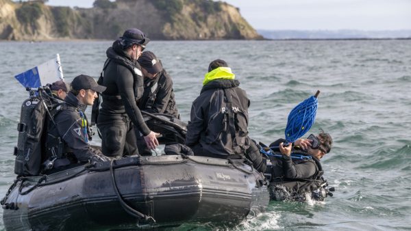
Scientists from the Department of Conservation (DoC) and Te Herenga Waka-Victoria University of Wellington have undertaken an ambitious project to map some of the Hauraki Gulf’s deepest and most unexplored reefs.
Using an underwater drone, crews have plunged to depths of 30 to 90 meters, discovering vibrant marine habitats over a four-day expedition.
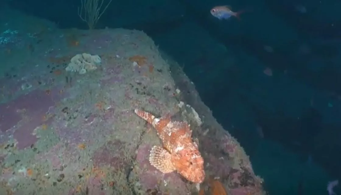
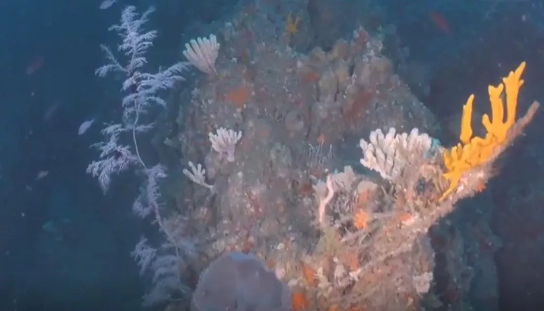
“We saw amazing 3D sponge gardens, protected species, and large black corals reminiscent of Fiordland,” Professor James Bell from Victoria University said.
The vast sponge gardens were highlighted by rare species like the orange wandering anemone, Alicia, whose presence was previously unknown according to Bell.
“They weren’t wandering, they were all sat on the black corals, something I hadn’t seen before,” he told Newshub.

The project targeted 28 deepwater sites, revealing mesophotic communities where fish thrive, as things like seaweed can’t, beyond the reach of sunlight. The areas are critical for a variety of marine species, offering food and shelter, and contributing to the biodiversity of the Gulf, Bell says.
The team were impressed with the abundance of fish, at the reef level.

“We saw lots of fish on many of these reefs including prized recreational fish like snapper, kingfish and tarakihi, and lots of other species like pigfish, red moki, twospot demoiselle, scorpion fish, trevally. These reefs are hotspots for fish activity,” Bell said.
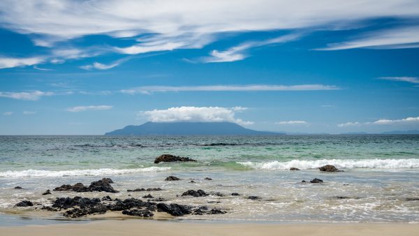
The group explored the Colville and Craddock Channels and the Alderman and Mokohinau Islands. Footage shows deep reefs teaming with life and colour.

Funded by DoC, the effort is part of a broader strategy to create a coastal and marine ecosystem classification map. This map will help identify vulnerable and rare habitats, guiding conservation efforts to protect them from threats like fishing and anchor damage.
Mathilde Richer de Forges, DoC’s marine science advisor, stressed the importance of this work. “Once we can classify them, we are able to identify which ones are vulnerable or rare so we can manage them,” she explained.